


My free weekend in the Pacific Northwest was kissed by an unusually warm spring sun, that brought record temperatures for this time of the year (we hit 70F today). Around 10am I left Portland for the 75 mile drive to the Oregon Coast near Lincoln City, arriving just after noon. The trail I selected for my Sunday hike was the Cascade Head trail. The trailhead is at a parking just three miles north from the intersection of OR18 with US 101, at the mouth of the Salmon River. For the photographs and some descriptions continue after the jump…

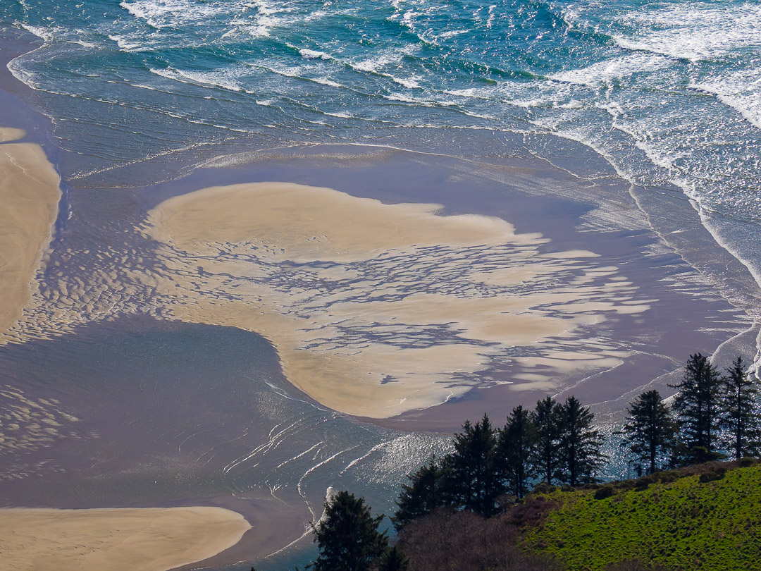
The year round open lower Nature Conservancy Trail is a moderate 4.2-mile hike up Cascade Head, gaining 1200 feet of elevation. The trail initially crosses a couple of small streams on bridges, then enters a forest of large, gnarled spruce covered with moss and surrounded by big ferns, climbing steadily upwards. After 1.1 miles I exited the woods onto the meadows with a breathtaking view across the Salmon River estuary. In the distance visible are Cape Foulweather and Lincoln City’s Devils Lake. Then the path steepened a lot and climbed to the upper viewpoint, with a splendid vista of the Oregon Coast and the sparkling Pacific Ocean. A great hike, with the views getting better as I gained altitude. But see yourself….


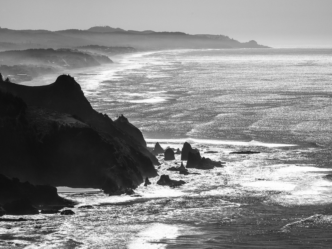


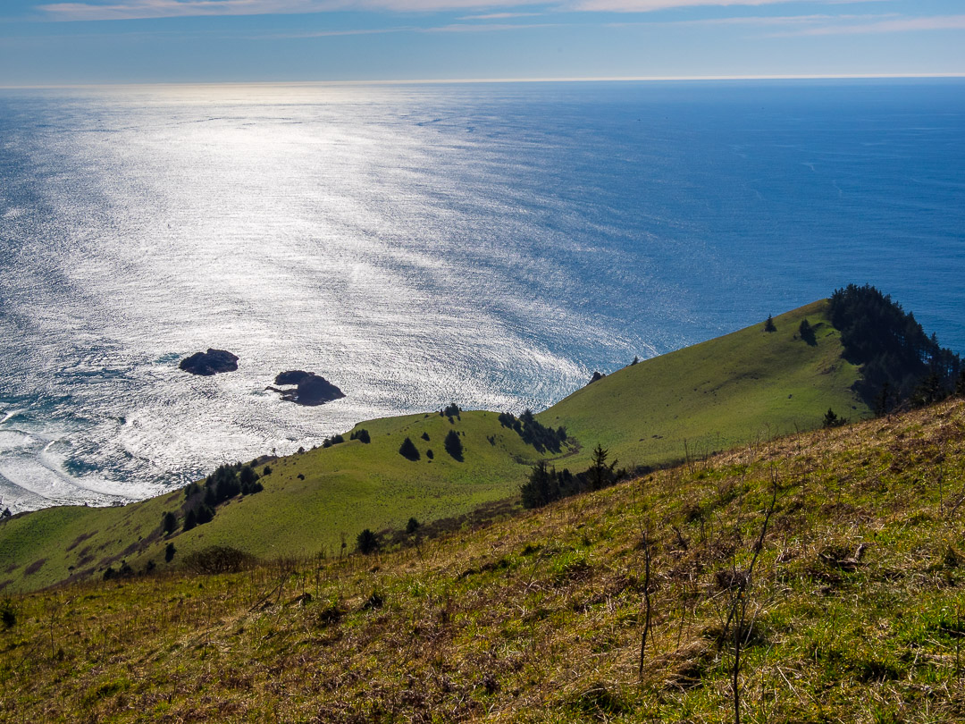
The vista from the upper viewpoint of the trail is spectacular. I just sat in the sun and enjoyed looking out over the Pacific Ocean. I even managed to spot some whales blowing steam, probably some resident Grey Whales living year round near Lincoln City and Depoe Bay, but they were too far off to photograph.
From up here departs also the upper trail on to Harts Cove, but it is only open from mid July to mid December, to protect rare wildlife, so I didn’t get to do it. But for sure a reason to return in summer, when the meadows high above the Pacific are ablaze with flowers.


Finally I descended once more through the fairylike Siuslaw National Forest.


For the hike up Cascade Head I brought my Olympus OM-D E-M1 with the mZuiko 12-100mm F/4 Pro Zoom. RAW conversion and post processing (mainly some de-hazing and contrast adjustments) was done in Lightroom Classic CC. I also used my iPhone 6s to take some panoramic shots.
All in all I was 3.5 hours on the trail, covering 5 miles and 2400 ft of altitude difference. But that included plenty of photo stops and a good amount of relaxing in the warm spring sun, taking in the splendid view.
Wish you all a great week!
Marcus
Related Posts:
StoNur on the Road – Blood Mountains