Continuing with our explorations of the Pacific Northwest, we left Seattle early in the morning for a day trip to Mt. Rainier National Park, which is a good two and a half hour drive via Enumclaw and Greenwater. Famous American conservationist John Muir once said: “Of all the fire mountains which like beacons, once blazed along the Pacific Coast, Mount Rainier is the noblest.” For more photos of the majestic stratovolcano and the surrounding National Park, continue after the jump…

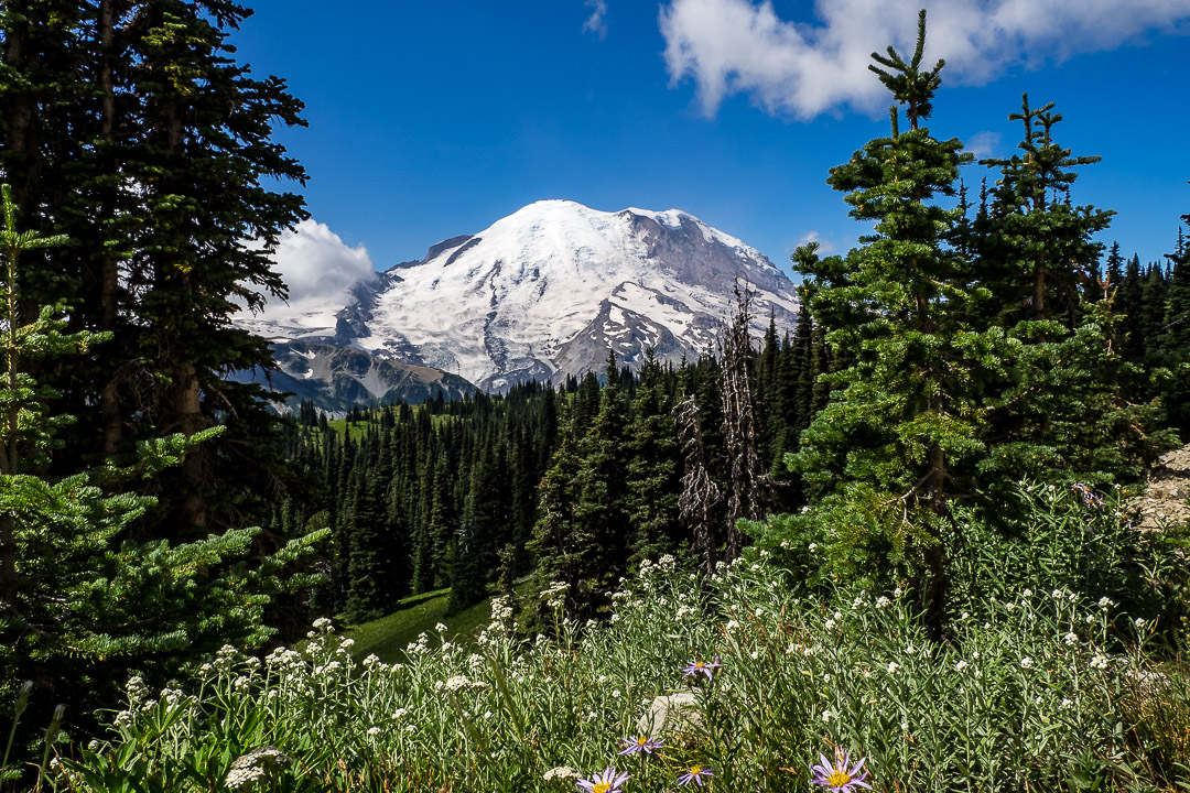
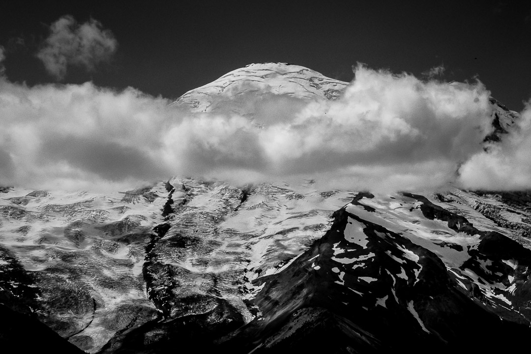
We entered the park in the North via for a trip up Sunrise Road. Having left Seattle in drizzle under a solid cloud cover, we broke into sunlight before entering the National Park, and just before reaching the White River entrance, were greeted with a stunning view of the big active volcano (title image above).
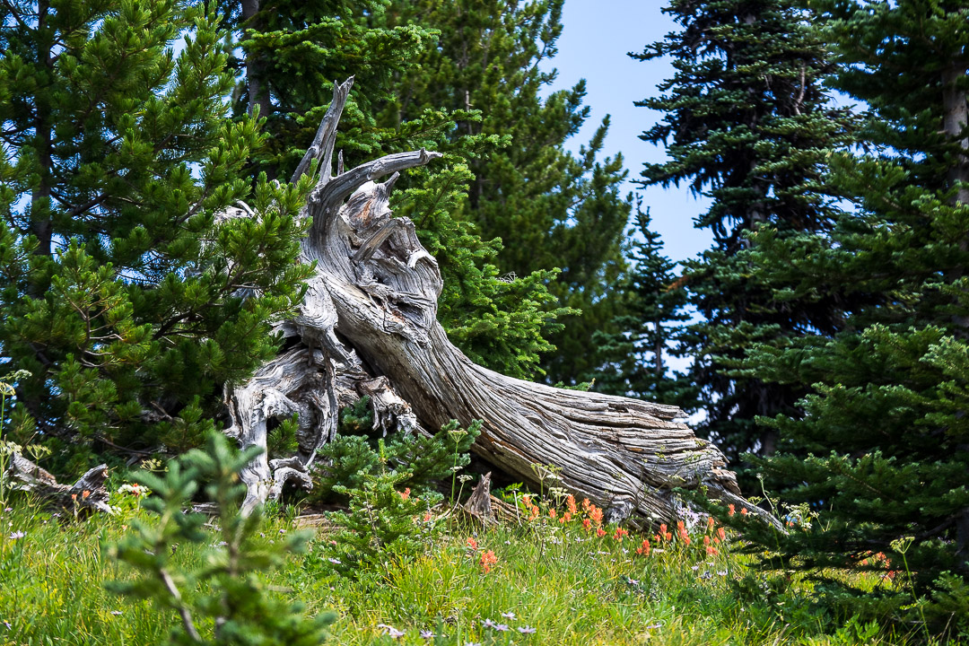
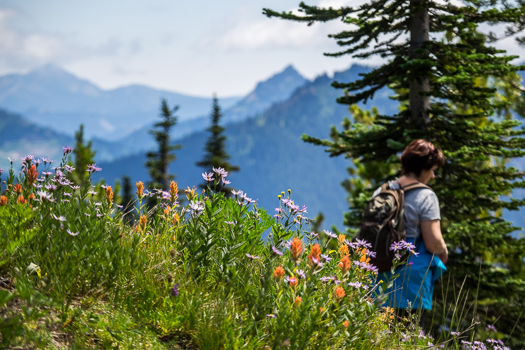
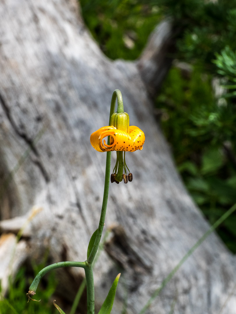
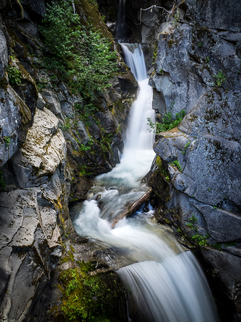
From the Visitor Center Parking we hiked along a ridge, enjoying spectacular views of Mt. Rainier and the Cascade Range. Especially beautiful were the colorful mountain flowers on the lush meadows.

Mt. Rainier is the highest mountain of the Cascade Range in the Pacific Northwest and the highest mountain in the U.S. state of Washington. This large active volcano located 54 miles southeast of Seattle has a summit elevation of 14,411 ft (4,392 m). According Wikipedia, Mt. Rainier is considered one of the most dangerous volcanoes in the world. Because of its large amount of glacial ice, Mt. Rainier could produce massive landslides and flooding that could threaten the entire Puyallup River valley, and poses a grave threat to the southern sections of the Seattle metropolitan area, a city of over 650,000 people with more than 3.7 million living in its surrounding area.
With 26 major glaciers and 36 sq mi (93 km2) of permanent snowfields and glaciers, Mount Rainier is the most heavily glaciated peak in the lower 48 states. The summit is topped by two volcanic craters, each more than 1,000 ft (300 m) in diameter.
With an ultra prominent shape, Mount Rainier raises 13.210 ft (4,026 m) above its surrounding terrain, which is a greater topographic prominence than that of K2, the world’s second-tallest mountain. On clear days it dominates the southeastern horizon of the Seattle metro area. It was first ascended in 1870.


From the Sunrise area we circumnavigated the mountain clockwise via the Cayuse Pass, from which we took a quick detour up Chinook Pass (5432 ft elevation). From there we continued to the Paradise area. Driving up Paradise Road we saw the South Face of the majestic volcano, then the clouds started to move back in. When reaching the famous Reflection Lakes, we were still enjoying sunshine, but without any view of Mt. Rainier, that had hidden himself in a solid cloud layer.

When leaving the Park via Longmire and the Nisqually Entrance in the Southwest, we were back in grey drizzly weather. We were very grateful for the beautiful weather and views we had enjoyed in Mt. Rainier National Park all day long. Often, the big volcano is obscured from view from the Park, as it produces its own micro climate with the humid air moving in from the Pacific. Still, it is a must see destination and perfect for a day trip from the Emerald City.
All photos taken with the Olympus OM-D E-M1 with the 12-100mm F/4 Pro Zoom.
Wish you a great weekend!
Marcus
Related Posts:
i couldn’t get enough of all the photography. I am just being summoned by the mountains, and any pictures of those rocky formations and I just feel transported. also cute wildlife photo loved seeing the little guy!!
https://thewoodnymphjournal.wordpress.com/
Thanks, appreciate your kind words so much! Marcus
It’s nice to see some fresh photos of Rainer. Last summer when we were there the smoke was so bad from the fire you couldn’t see the top. Safe travels my friend!
Thanks, glad you liked the photos! The smoke got to us when we visited St. Helens. Thanks for your wishes! Marcus
Stunning!!
Thanks Amy ! Mount Rainier is such a beautiful National Park! A must to visit! Marcus
What can I add but WOW.
Thanks, chair, as always highly appreciated!
Incredible place with rich flora and fauna. Great photos!
Thanks, so much appreciated!
Really great photos!!
Thanks, Gracia, so much appreciated! Marcus
I saw the moon landing in ’69 at a campground somewhere on Rainier. Some guy had a tv in his camper, and, as I recall, no one else was much interested. My son solo hiked the PNT a few years ago, we met him at the end, and revisited the park. Magnificent.
What a cool story! Thanks for commenting! Marcus
Amazing photos as usual! 😊 Mountain Hike is my favourite! 😊
Thank you so much, as always highly appreciated! Marcus
Beautiful shots of Mt Rainier and the surrounding areas! You were lucky to have such good weather there. I went three years ago and never saw the top of it because it was hidden behind clouds and rain.
Thanks, Hien, really appreciate your kind words. I know the feelings, we have a big mountain in Italy (Monviso) that we visited 3 times so far and never saw it come out of the clouds…..Marcus
So relaxing!
Thanks 🙂
Beautiful photos of Mt. Rainier and the Cascades Marcus. We visited there when our sons were small and would love to return to the Pacific North West again sometime. Enjoy your trip!
Thanks, Marion, I’m so happy you have seen this magic here yourself! You should return, it is so beautiful! Marcus